


|
Getting your Trinity Audio player ready...
|
The “Yellow Line” in Lebanon: IDF Outlines New Forward Defense Zone to Secure Northern Frontier
By: Ariella Haviv
In the uneasy calm that often follows the cessation of hostilities, maps can speak with a clarity that words rarely achieve. Two days after a fragile ceasefire took hold along Israel’s northern frontier, the Israeli military took the unusual step of publicly unveiling a detailed operational map—an image that delineates not only geography, but strategy, intention, and the enduring volatility of the region. As reported on Sunday by JFeed, the Israel Defense Forces has formally introduced what it terms a “Forward Defense Zone” in southern Lebanon, a carefully defined area that is already reshaping the post-conflict landscape.
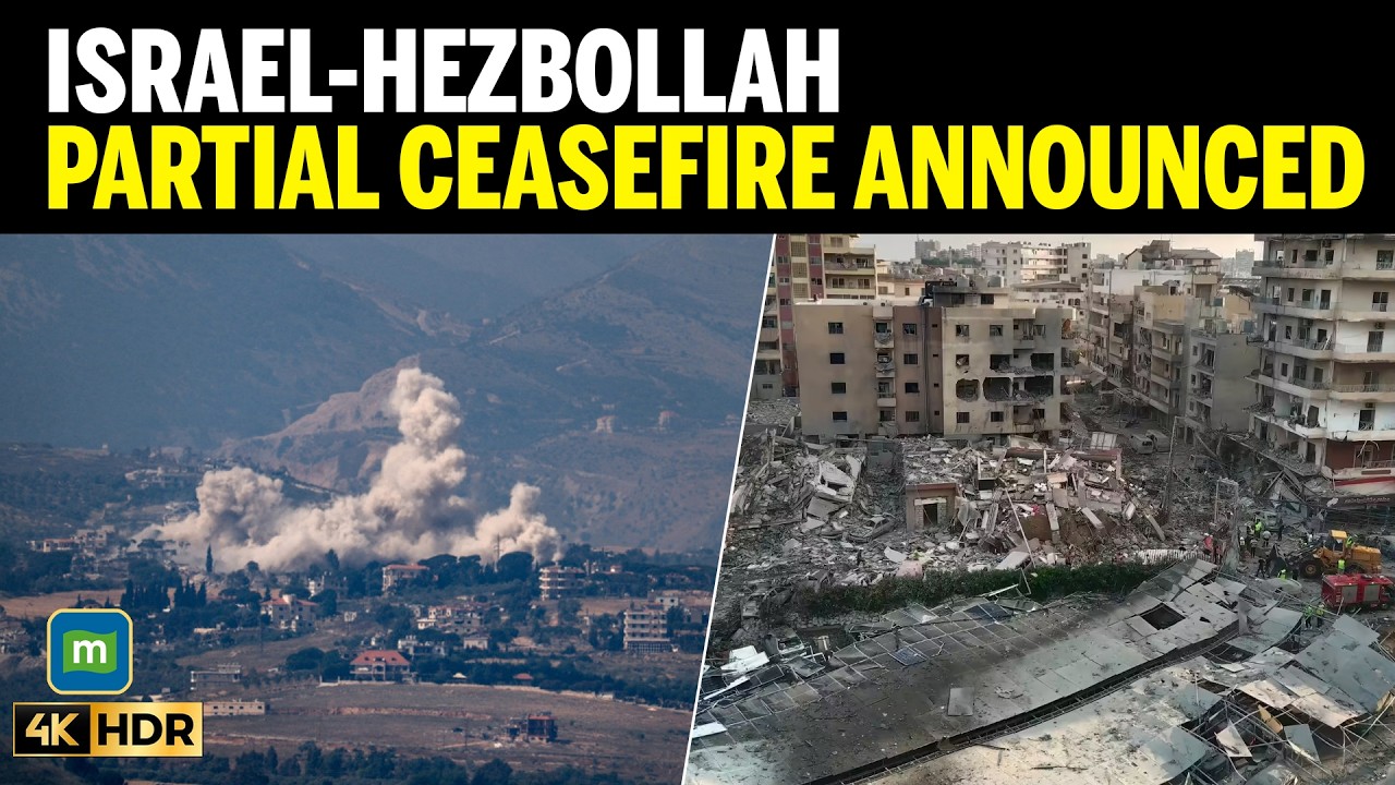
At the center of this new reality lies the so-called “Yellow Line,” a demarcation that extends across parts of southern Lebanon and marks the outer perimeter of Israel’s current military presence. Far from a symbolic gesture, this boundary represents an active operational zone in which Israeli forces continue to conduct targeted actions aimed at neutralizing threats emanating from militant elements, most notably Hezbollah. The timing of the map’s release—so soon after the ceasefire—underscores the provisional nature of the truce and the extent to which both sides remain locked in a posture of strategic vigilance.
According to official statements cited by JFeed, Israeli operations within and beyond the Yellow Line remain extensive. Five military divisions, supported by naval assets, are currently deployed in the region south of this forward defense boundary. Their mission is unambiguous: to dismantle what Israeli officials describe as entrenched militant infrastructure and to ensure that no immediate or future threat can materialize against communities in northern Israel. This is not a withdrawal in the traditional sense, but rather a recalibration—one that prioritizes sustained pressure over disengagement.
The scale of the military footprint is striking. Israeli forces are reported to maintain control over approximately 190 villages within the operational theater, while simultaneously securing around 150 crossing points and transit corridors. These figures reveal a level of territorial penetration that goes well beyond conventional border defense. Instead, they suggest a deliberate effort to establish depth in the security architecture, creating layers of deterrence that extend into Lebanese territory.
This approach reflects a broader strategic doctrine: the belief that security cannot be ensured solely from within national borders. By projecting force outward and maintaining a buffer zone, Israel seeks to preempt the reconstitution of hostile capabilities near its frontier. The Yellow Line, therefore, is not merely a line on a map; it is a manifestation of this doctrine in physical form—a boundary defined as much by operational necessity as by geopolitical calculation.
Yet the existence of such a zone carries profound implications, both immediate and long-term. For the residents of southern Lebanon, many of whom fled their homes during the recent escalation, the message is unequivocal. Israeli authorities have made clear that a return to areas within the Forward Defense Zone is not currently permissible. This directive, while framed as a security measure, inevitably raises humanitarian considerations, as displaced populations face uncertainty about when—or whether—they will be able to reclaim their homes.
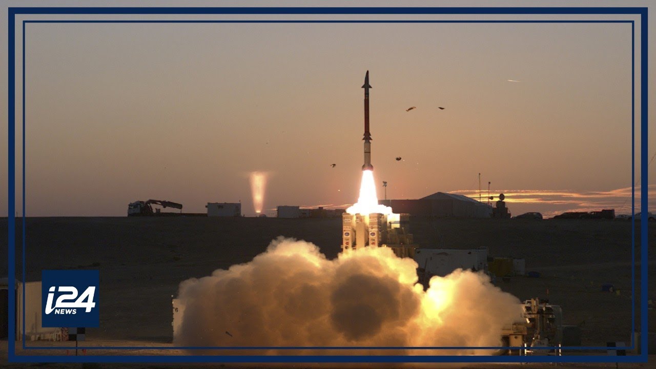
The humanitarian dimension is further complicated by the sheer scale of the conflict that preceded the ceasefire. Over the course of the hostilities, approximately 8,000 rockets were launched from Lebanese territory into Israel, accompanied by hundreds of unmanned aerial vehicles and roughly 140 anti-tank missiles. These figures, also reported by JFeed, illustrate the intensity and breadth of the confrontation, as well as the evolving nature of modern warfare, in which conventional and asymmetric tactics are increasingly intertwined.
In the final hours before the ceasefire took effect, the pace of military activity reached a crescendo. Israeli forces carried out a concentrated offensive aimed at degrading Hezbollah’s operational capacity. Within a single day, more than 150 terrorists were reportedly eliminated, while approximately 300 sites—ranging from weapons storage facilities to command centers—were targeted and struck. This last-minute surge of activity appears to have been designed not only to inflict immediate damage, but also to shape the conditions under which the ceasefire would take old.
The establishment of the Forward Defense Zone must be understood against this backdrop. It represents an attempt to translate battlefield gains into a durable security framework, one that can withstand the inevitable pressures that accompany any ceasefire. By maintaining a presence within this zone, Israel aims to prevent the rapid reconstitution of militant networks and to deny adversaries the proximity required for effective cross-border operations.
From a strategic perspective, the Yellow Line functions as both a shield and a signal. As a shield, it provides a buffer that increases the distance between hostile forces and Israeli population centers, thereby reducing the likelihood of sudden attacks. As a signal, it communicates a willingness to enforce red lines through sustained military engagement, even in the absence of active hostilities. This dual function underscores the complexity of the current situation, in which peace is less a definitive state than a managed equilibrium.
The broader implications of this development extend beyond the immediate theater of operations. The decision to publicly release the map can be seen as an effort to shape international perception, offering transparency while simultaneously reinforcing the legitimacy of Israel’s security concerns. In doing so, the military seeks to frame its actions within a narrative of defense rather than aggression, emphasizing the reactive nature of its posture.
At the same time, the map serves as a reminder of the enduring volatility of the Israel-Lebanon frontier. Despite the formal cessation of hostilities, the underlying tensions that gave rise to the conflict remain unresolved. The presence of heavily armed non-state actors, the influence of regional powers, and the absence of a comprehensive political settlement all contribute to a landscape in which the potential for renewed escalation persists.
For northern Israel, the stakes are particularly high. Communities in the Galilee region have long lived under the shadow of cross-border threats, and the events of the recent conflict have only heightened their sense of vulnerability. The Forward Defense Zone is intended, in part, to address these concerns, providing a tangible measure of security that extends beyond symbolic assurances.
Whether this strategy will achieve its intended objectives remains an open question. History offers numerous examples of buffer zones that have succeeded in the short term but faltered over time, as shifting dynamics and external pressures erode their effectiveness. Much will depend on the ability of Israeli forces to maintain control over the area, as well as on the broader regional context in which the conflict is embedded.
What is clear, however, is that the publication of the Yellow Line marks a significant moment in the evolution of the conflict. It signals a transition from active warfare to a more ambiguous phase, characterized by ongoing military activity within the framework of a nominal ceasefire. In this sense, the line represents not an end, but a continuation—a redefinition of the conflict rather than its resolution.
As the region adjusts to this new reality, the map unveiled by JFeed will likely remain a focal point of analysis and debate. It encapsulates the tensions inherent in any effort to balance security and stability, offering a stark visual representation of the challenges that lie ahead. For policymakers, analysts, and residents on both sides of the border, it serves as a reminder that in this part of the world, lines are rarely static—and that the distance between peace and conflict is often measured not in miles, but in moments.

